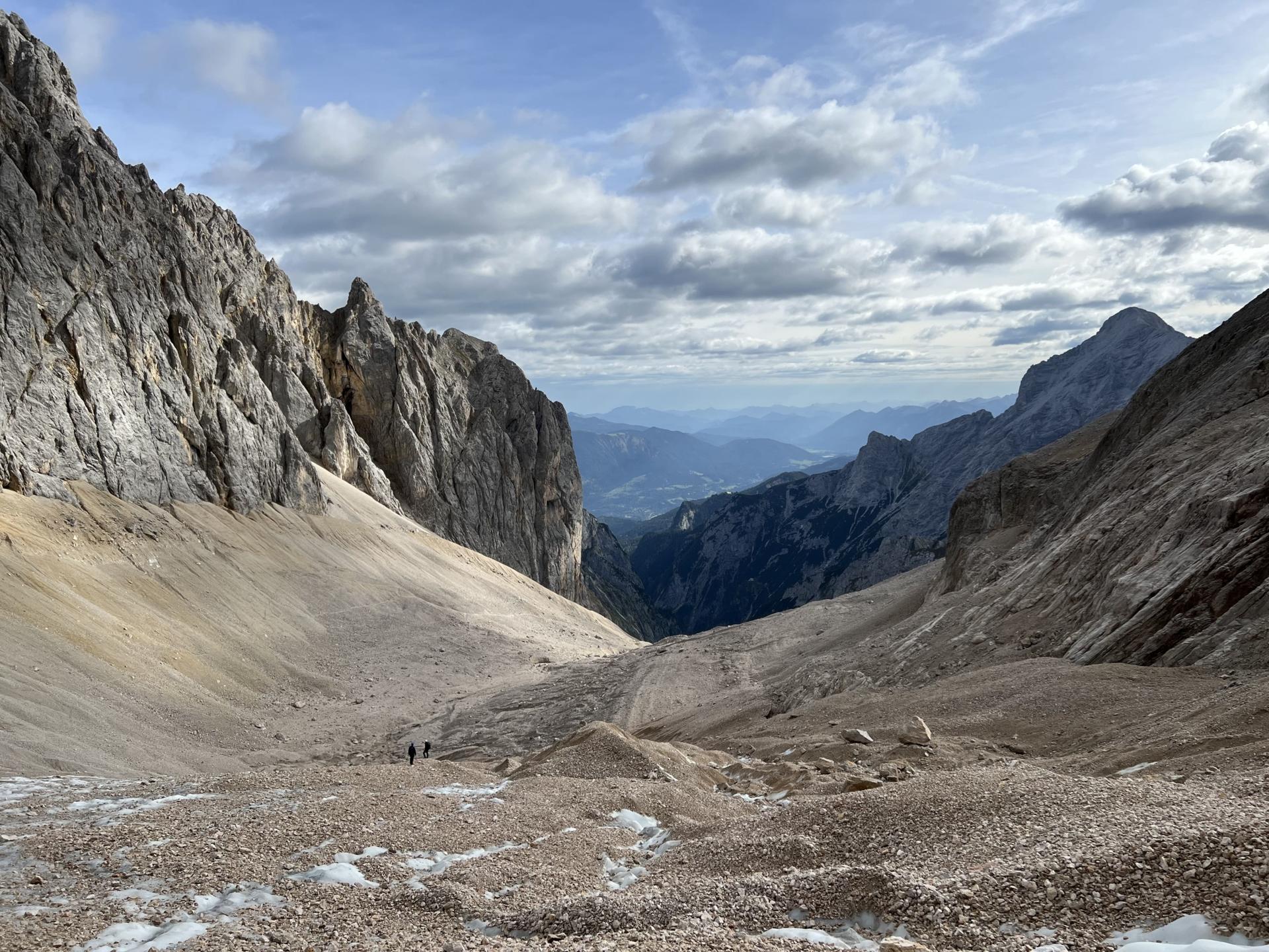
The Zugspitze
14.09.2022 @ Garmisch-Partenkirchen (Werdenfelser Land)
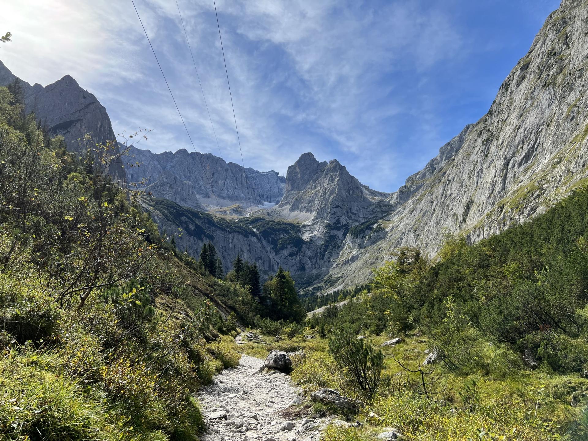
The Höllental
14.09.2022 @ Garmisch-Partenkirchen (Werdenfelser Land)
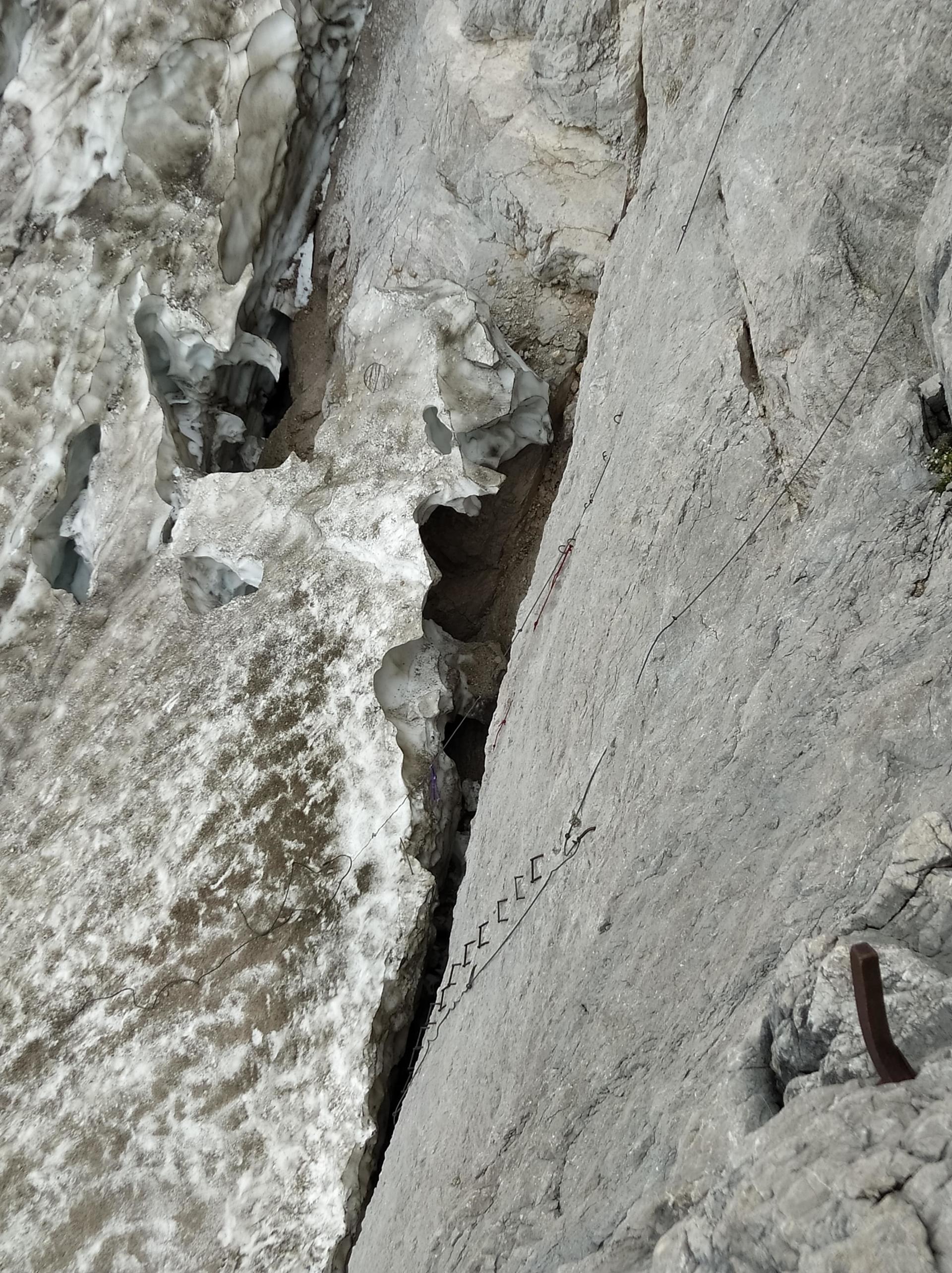
Die Randkluft
14.09.2022 @ Garmisch-Partenkirchen (Werdenfelser Land)
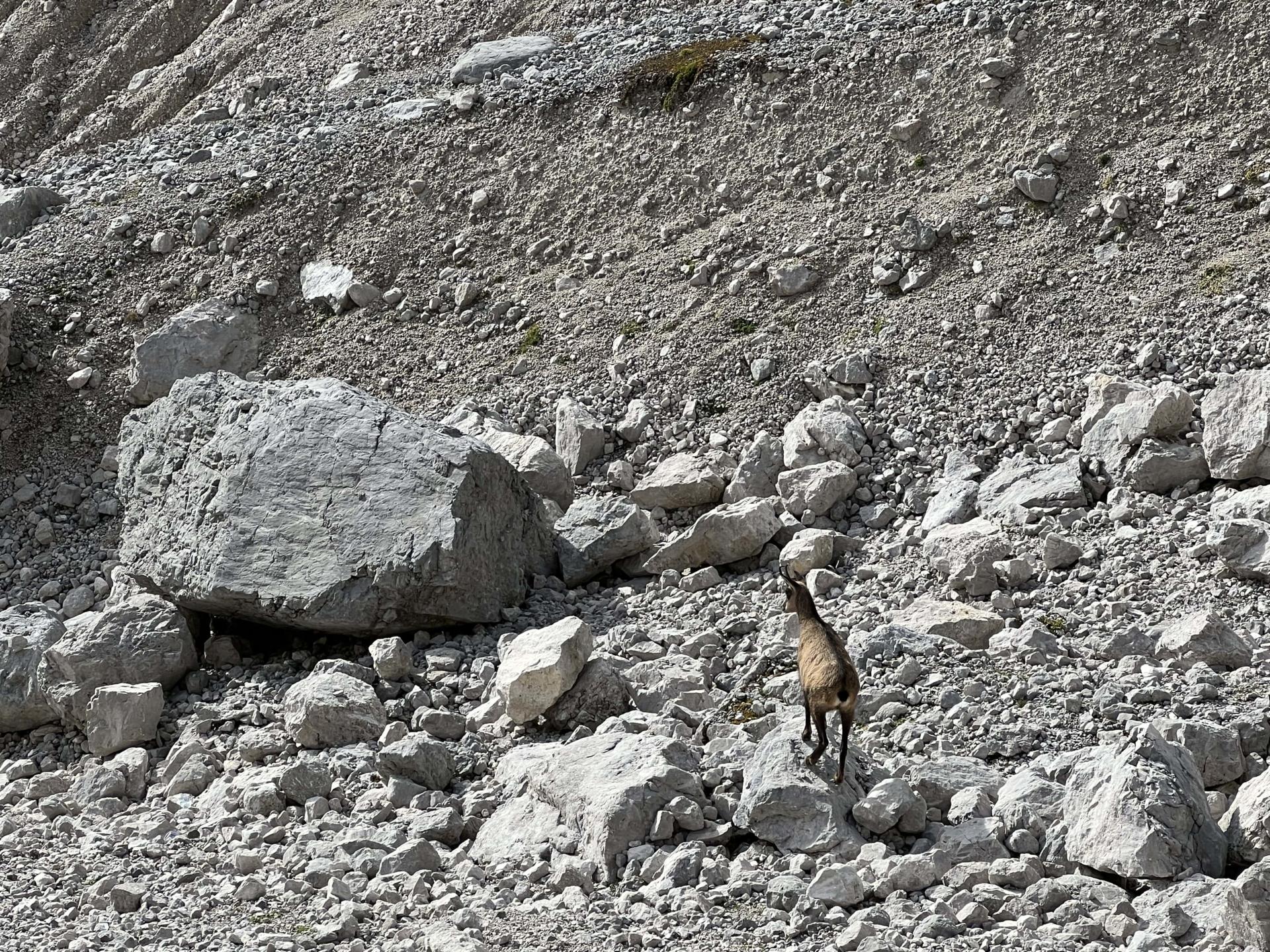
Gams im Höllental
14.09.2022 @ Garmisch-Partenkirchen (Werdenfelser Land)