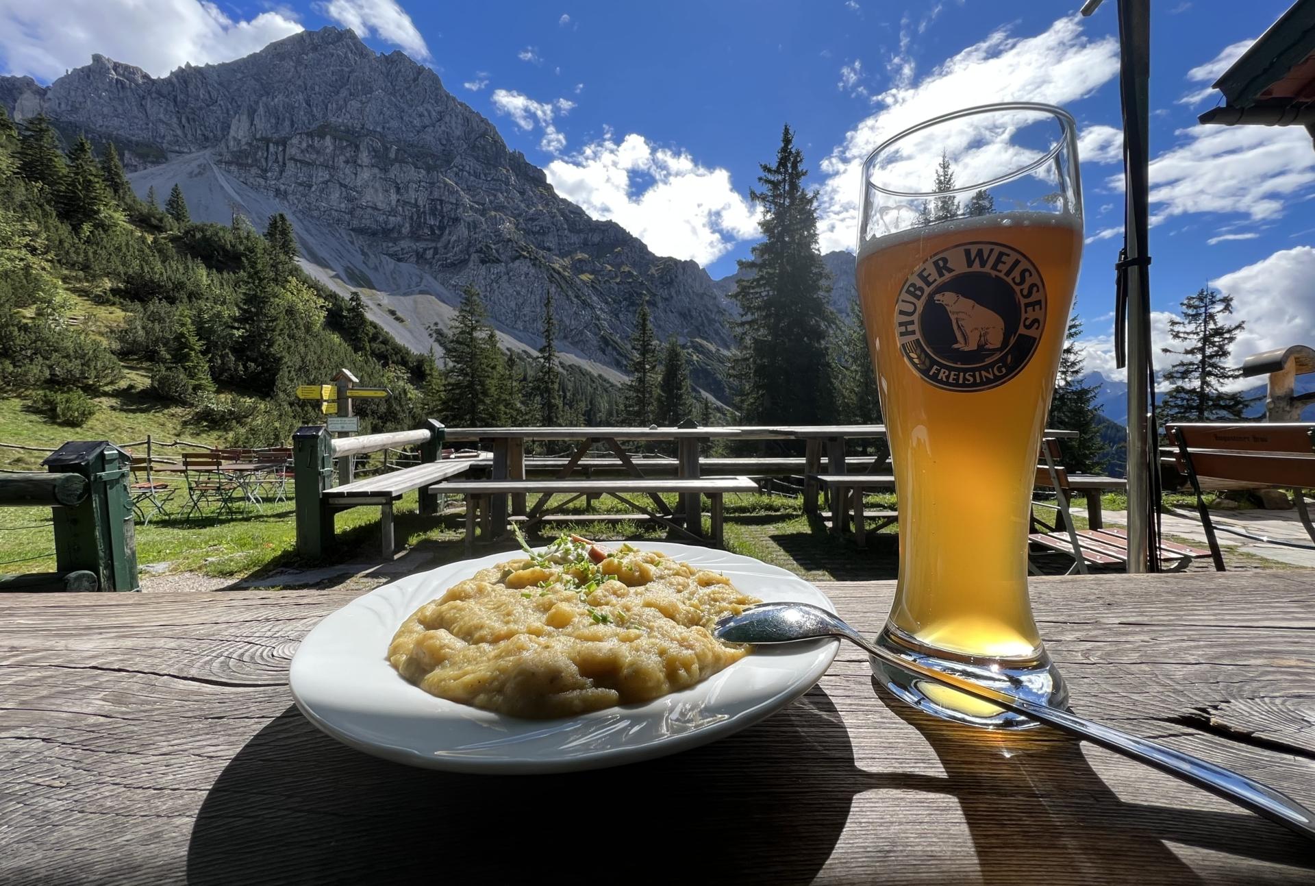
At the Hochlandhütte
08.09.2022 @ Mittenwald (Karwendel)
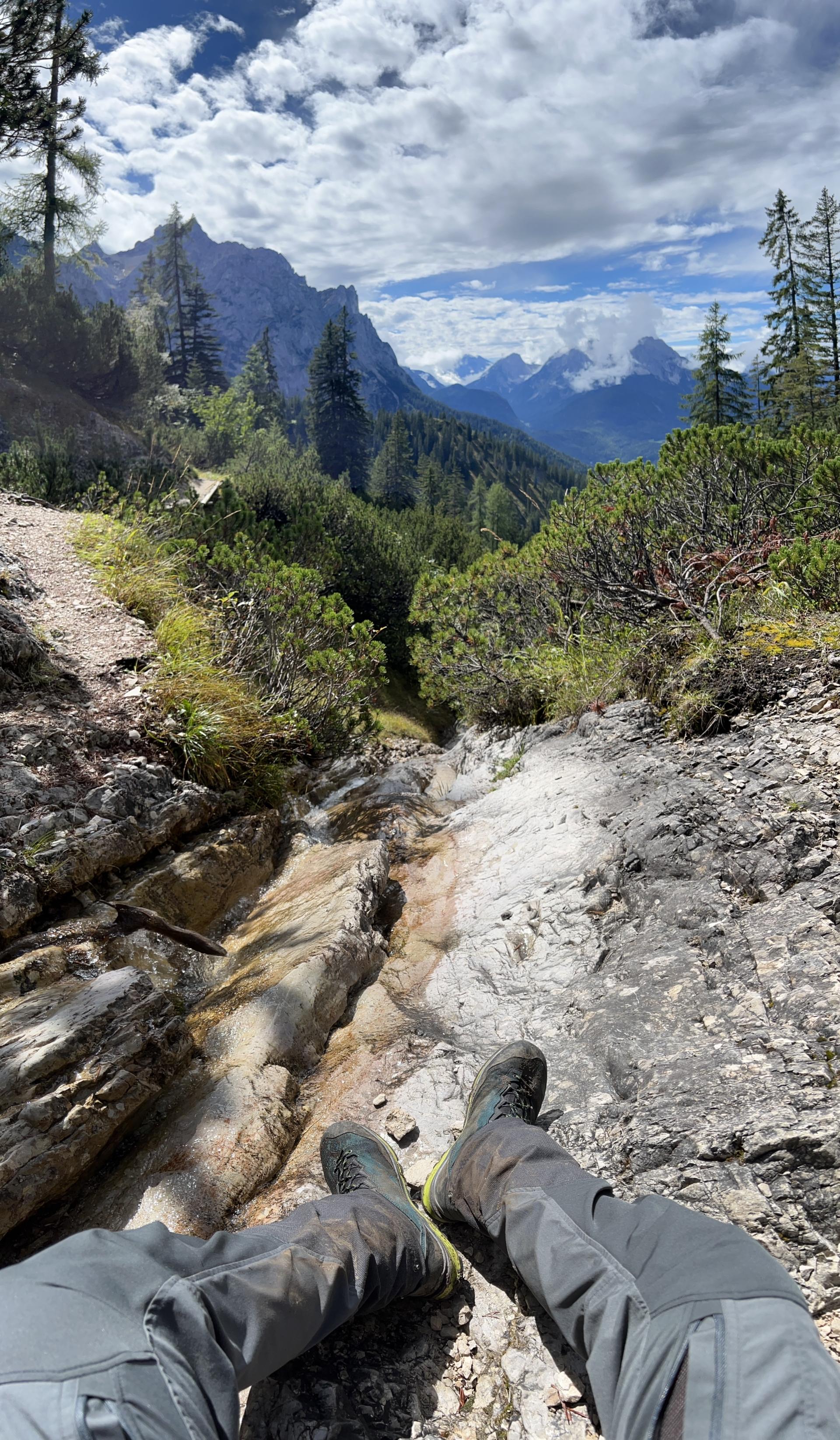
Track to the Hochlandhütte
08.09.2022 @ Mittenwald (Karwendel)
08.09.2022 @ Mittenwald (Karwendel)
08.09.2022 @ Mittenwald (Karwendel)