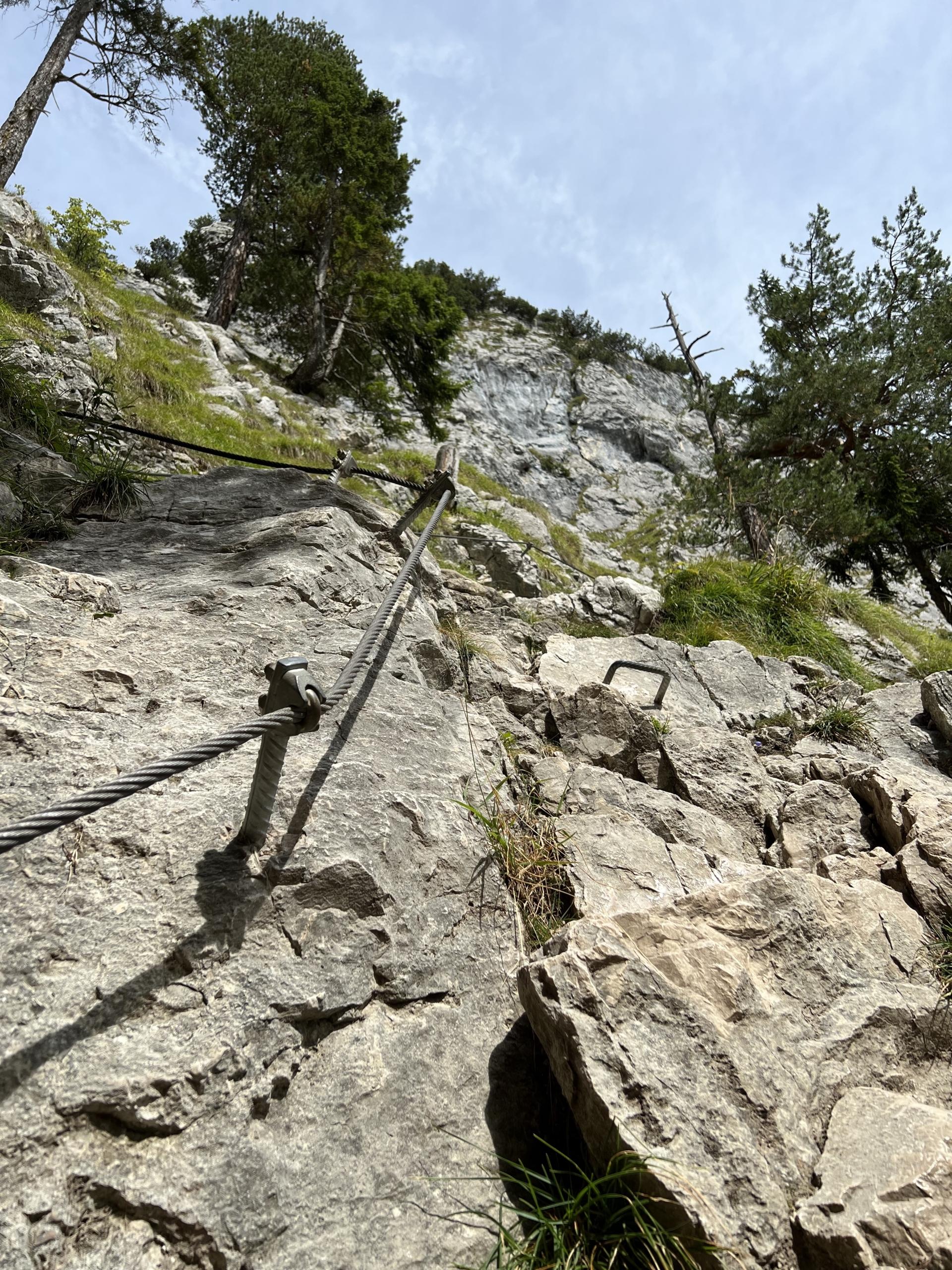
Track to the Kofel
07.09.2022 @ Oberammergau (Ammergauer Alpen)
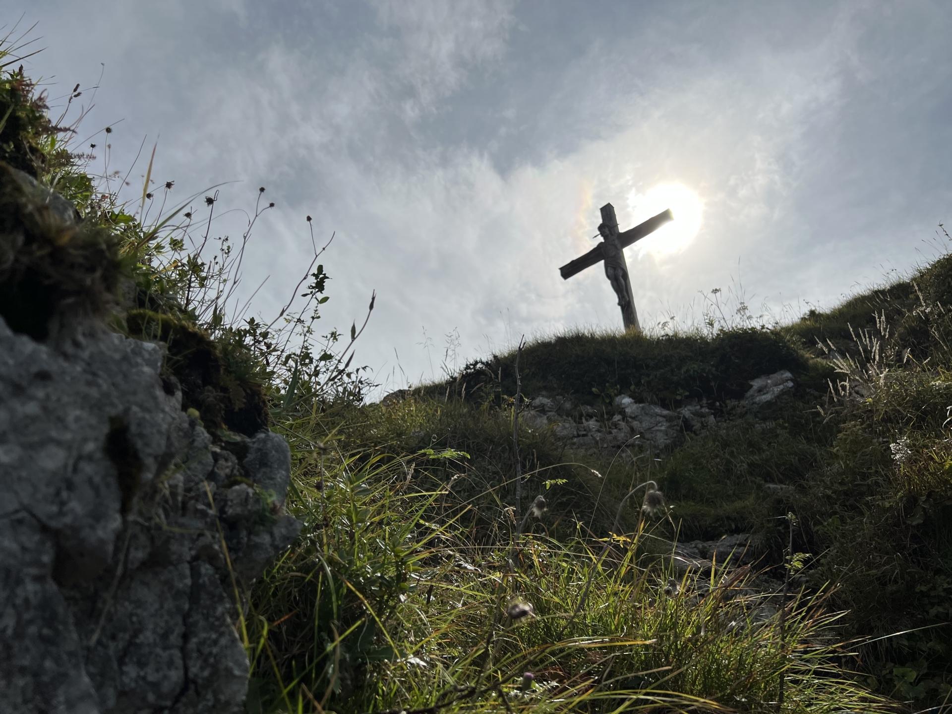
Oberammergau Kofel
07.09.2022 @ Oberammergau (Ammergauer Alpen)
07.09.2022 @ Oberammergau (Ammergauer Alpen)
07.09.2022 @ Oberammergau (Ammergauer Alpen)