Ramsbeck - Bastenberg
Hiking in Ramsbeck (Sauerland)
Hike from Ramsbeck to the nearby Bastenberg.
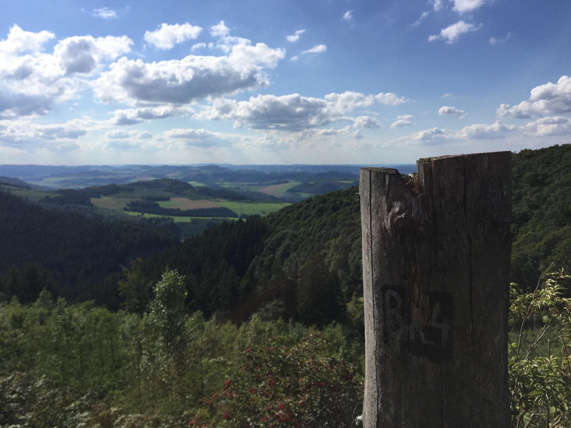
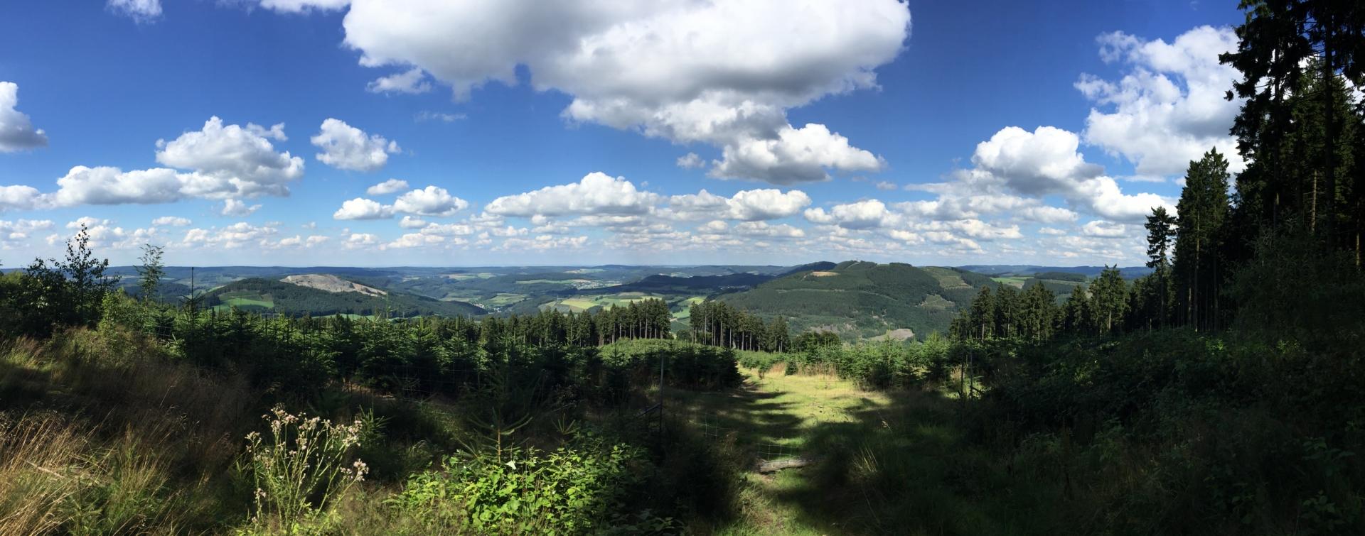
The tour leads from Ramsbeck up to the summit of the Bastenberg. At the summit cross, benches and tables invite you to rest. The circular route also leads a few kilometers towards Kernebrockskopf. If you want, you can also shorten the tour after visiting the summit and skip the second mountain.
Tourdata
Directions
Your tour starts in Raviele Straße by Ramsbeck . Here it goes first in the direction of "mining hiking trail". After a few meters, a small altar appears, here you continue left until you come to an intersection with 5 different directions. Here you also follow the mining hiking trail up towards the mountain. On the slate and meadow path you will see the historic flue gas fireplace on your right. At the end of the path you can turn right to visit it or follow the dirt road to the left. After a few meters you turn right onto another forest path. At the end of the path, go left on a dirt road. You walk this one kilometer. Follow the second possibility to get up on the right. When you get to the narrow curve, you can follow a small path to get to a first lookout point. Then it continues 1.5 km towards the summit. If you stick to the signs "Berlarer Rundweg BL2 ", you are on the right path. Then you turn left to the mountain peak (also signposted). Arrived at the summit cross, there are benches and tables for a rest.
Now you continue on the summit circular route to a crossroads with several options. To follow the tour further, briefly turn right and immediately left, you stay on the Berlarer Rundweg . Now you stay on the gravel path for 2 km and keep left. In the meantime there is the possibility to turn left to get to the mining memorial stone . After the 2 km there is a fork in the road. Here you keep left to the next fork where you keep right for a short time to immediately turn left again. After a further 2 km straight you will come back on the way back.