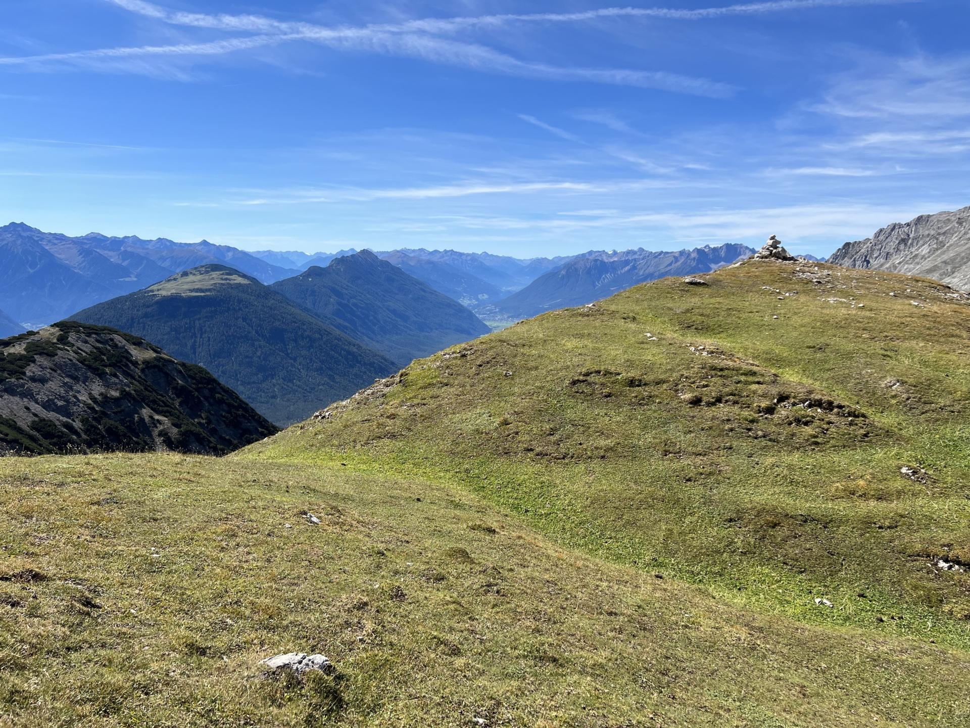
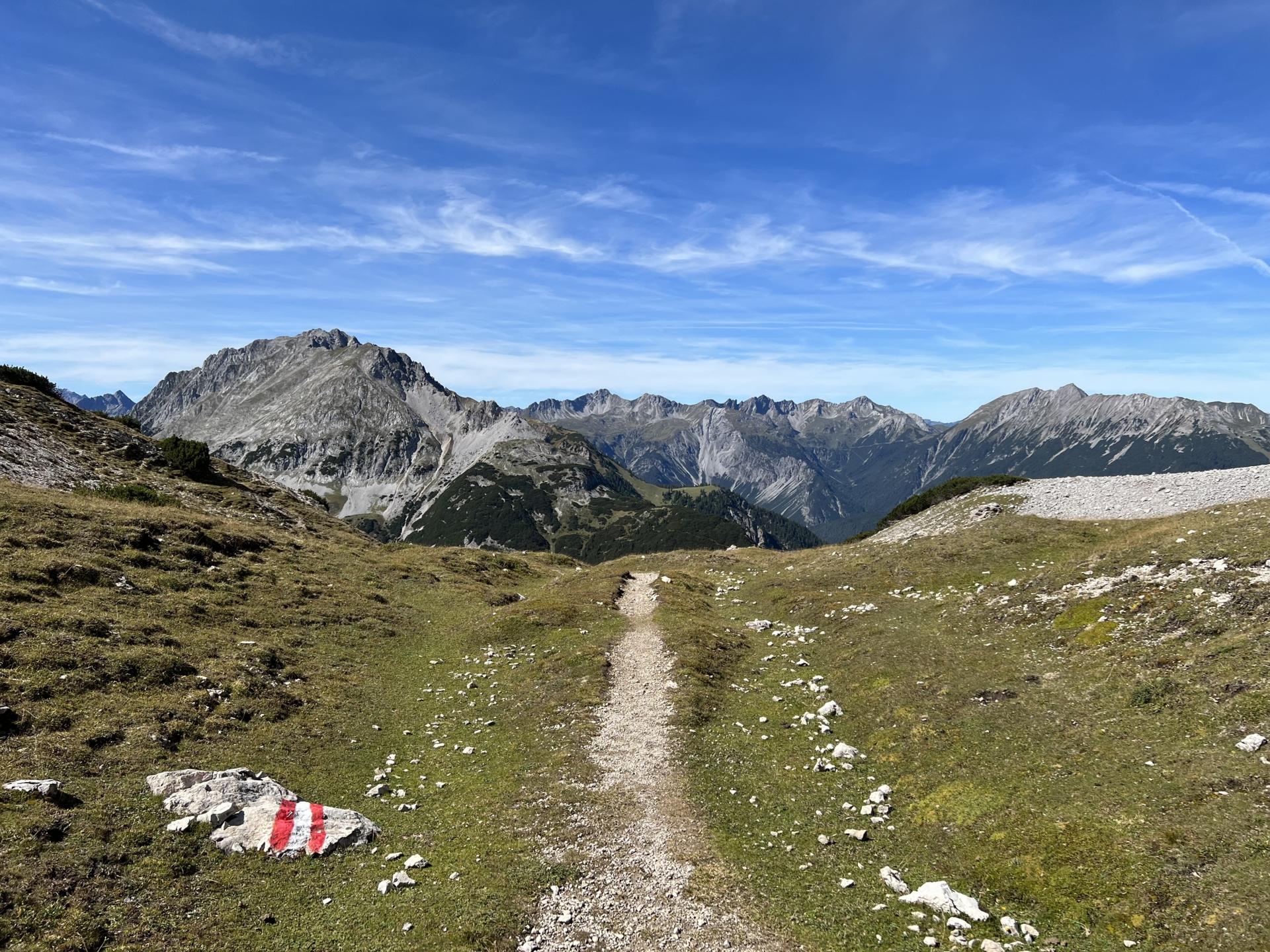
Höllkopf, Hölltörl und Montan-Wanderweg Mountain tour in Biberwier (Tirol) Tourdata Length 10,0 km Duration 5:50 h Max altitude 2.191 hm Min altitude 999 hm Elevation gain 1.350 +hm Elevation loss 685 -hm Tour map Altitude chart To protect your privacy, we did not automatically load the map. When you load this map, personal data (like your IP-address) may be transferred to openstreetmap.de and thunderforest.com. Read more in the privacy policies Show the map Save this decision GPX download