Hiking Briloner Kammweg
Distant hike route in Brilon (Sauerland) & Willingen (Upland)
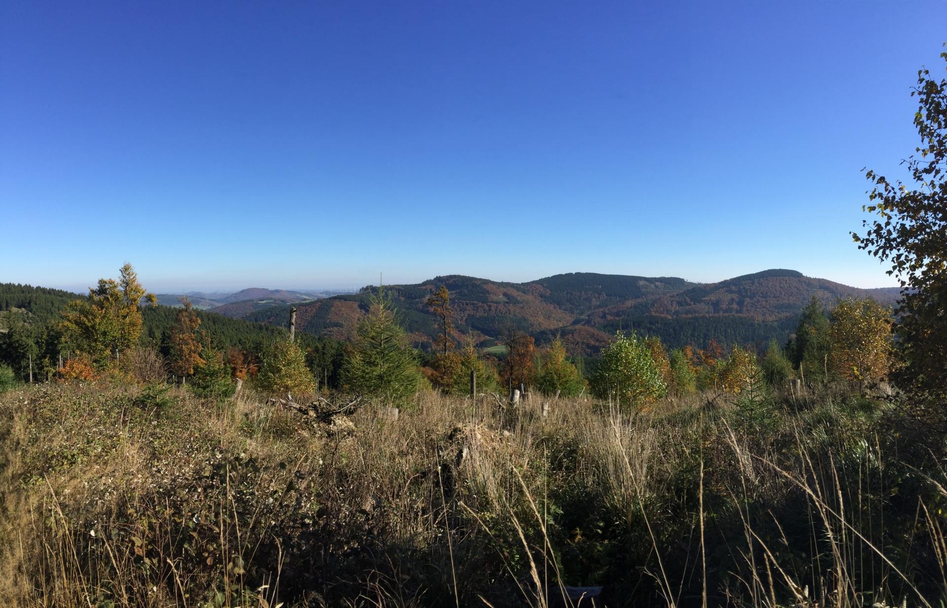
Over hill and dale, mountain and valley, forest and meadow that is what connects hiking, also the ridge path between Brilon and Willingen. The route is divided into two daily stages, Brilon - Willingen there and Willingen - Brilon back.
The first stage, like the Rothaarsteig, begins at the marketplace in Brilon and leads via Gutenhagen / Petersborn, Bruchhausen to Willingen. This part of the tour is also the more strenuous stage with a length of 27km and almost 650hm in the ascent.
The second stage starts with the ascent to the Hohen Eimberg and leads over several peaks, through the Laupke valley, to the Pulvermühle and back to Brilon. By only 21km, this route is also the more relaxed part of the ridge route.
Tourdata
Directions
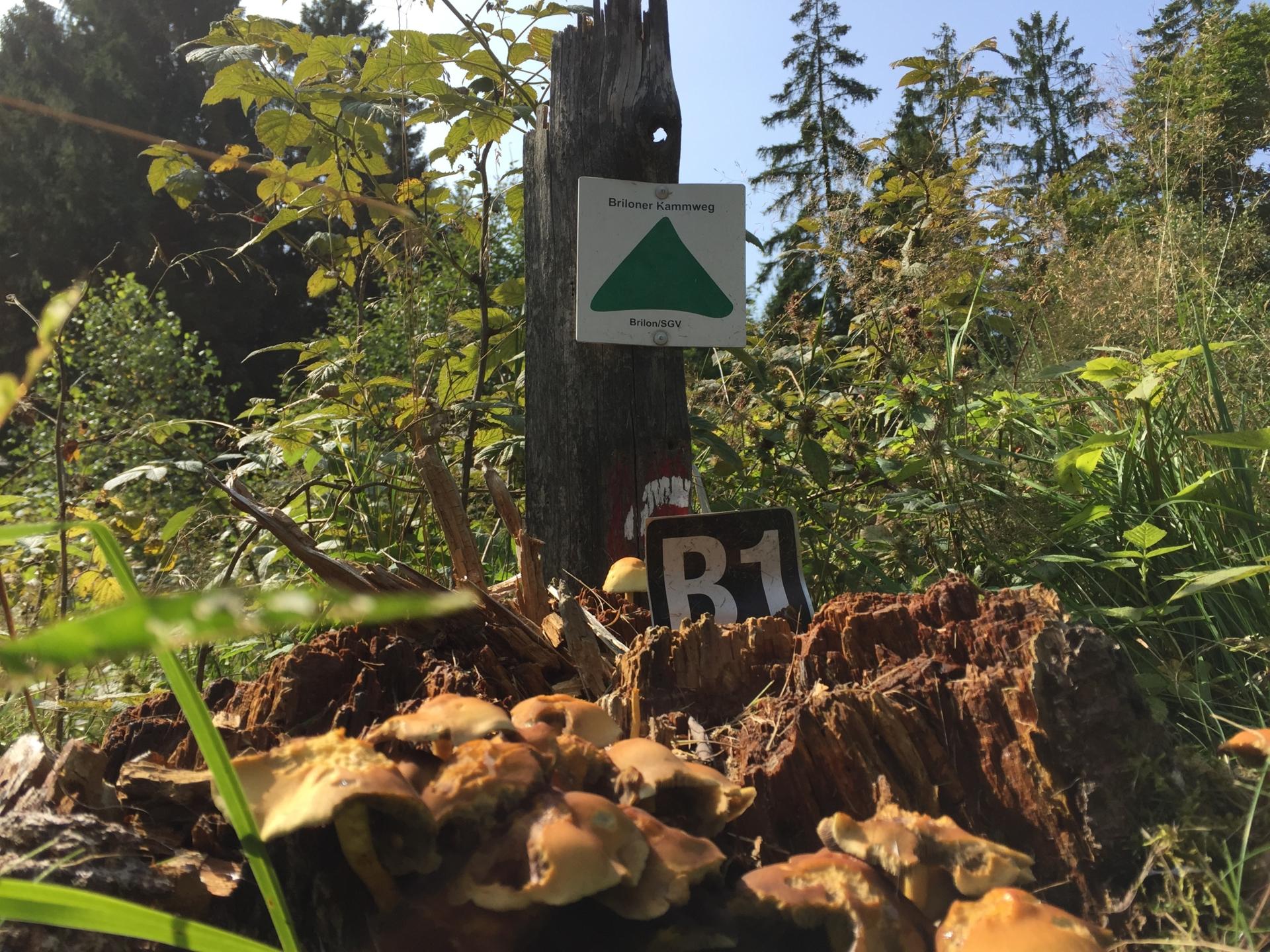
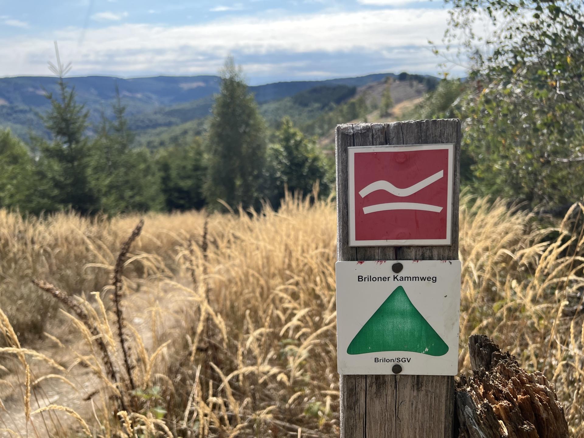
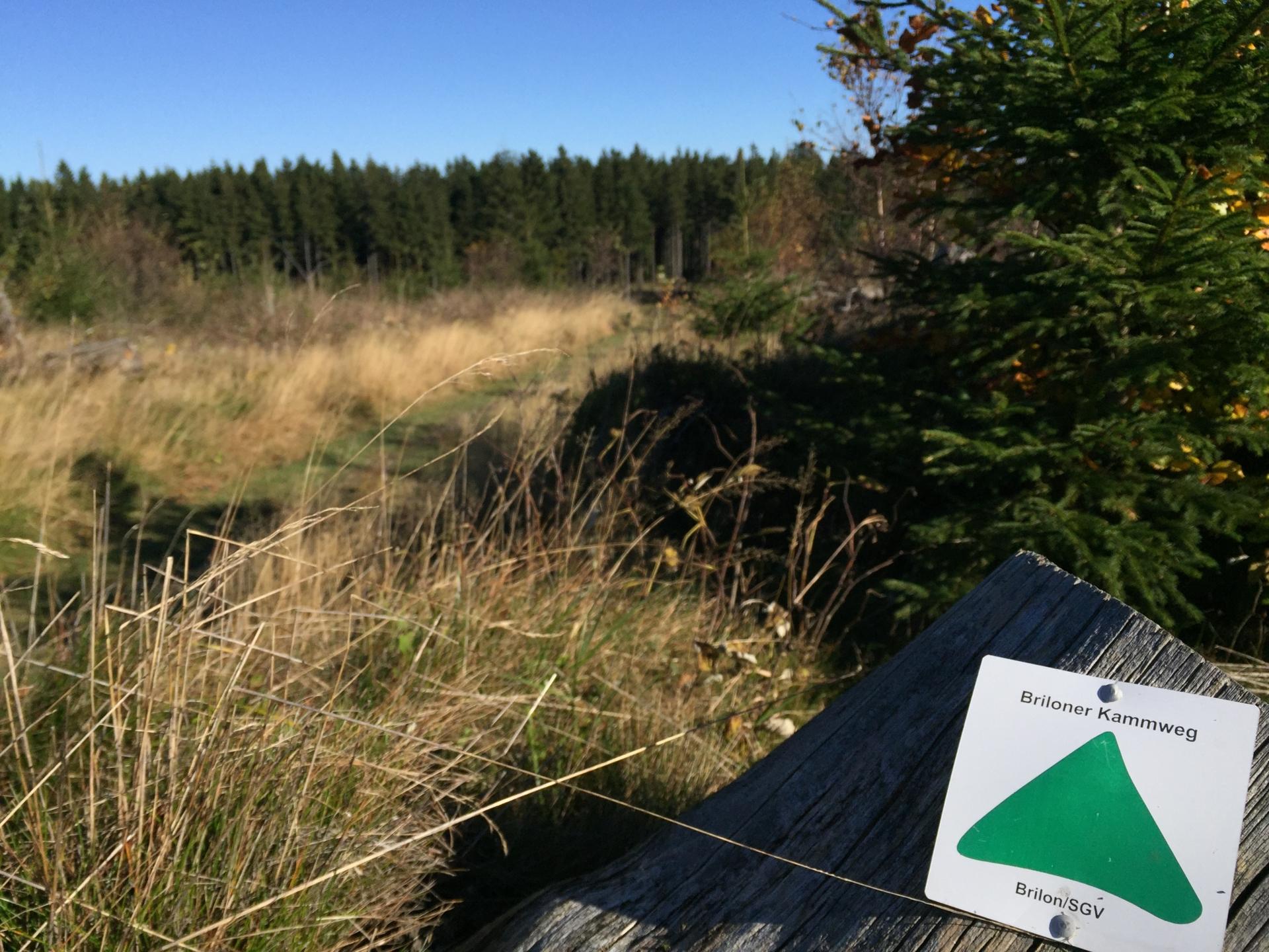
The path is well signposted. Just follow the sign that says "Briloner Kammweg" and a green triangle.