From Wulmeringhausen to Ohlenkopf
Hiking in Wulmeringhausen (Sauerland)
Hike from Wulmeringhausen to Ohlenberg and back.
The tour leads from the small village of Wulmeringhausen up to the summit of the Ohlenberg (Ohlenkopf). Along the way, some villages and the Fortfun amusement park keep popping up in the distance. There is also a resting place right on the summit together with a fire pit.
If you want to continue the tour, you can also visit the summit of the Steinhelle mountain, which is not far away.
Tourdata
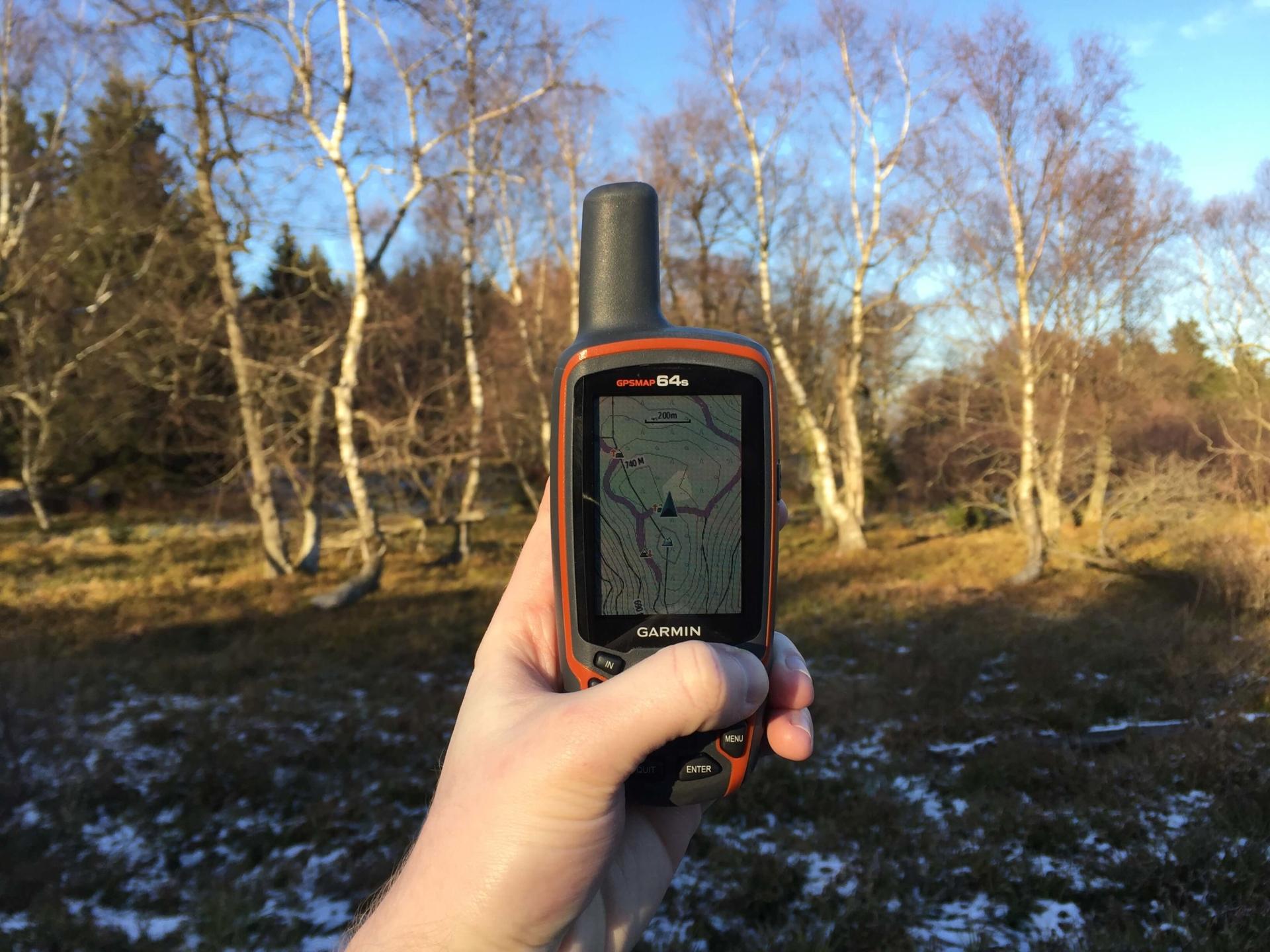
Directions
You start your tour in Wulmeringhausen, more precisely at the "Vogelstange" pedaling point. For the first kilometer you hike up the mountain parallel to Fauleborn. After the first smaller curve, turn right to continue climbing. Follow the current route until you reach an intersection. Here you keep left. Then you walk this path for 1.2 km until you see the amusement park Fortfun in the distance. Now it goes up the mountain on the right. After a few hundred meters, a steep meadow path appears on your left. At the end of this path, I recommend that you briefly stray from the path and turn left into an open meadow. From here you have a great view of Fortfun and Andreasberg. Then you should get back on a gravel road where you keep right. If you follow this path to the end, it will lead you directly to the Ohlenberg summit path.
If you were on the summit, you now hike the dirt road a kilometer further until you can go down the mountain on the right. This section ends at a path lane. After this you keep left and continue down the dirt road. This will take you back to the route you came from.