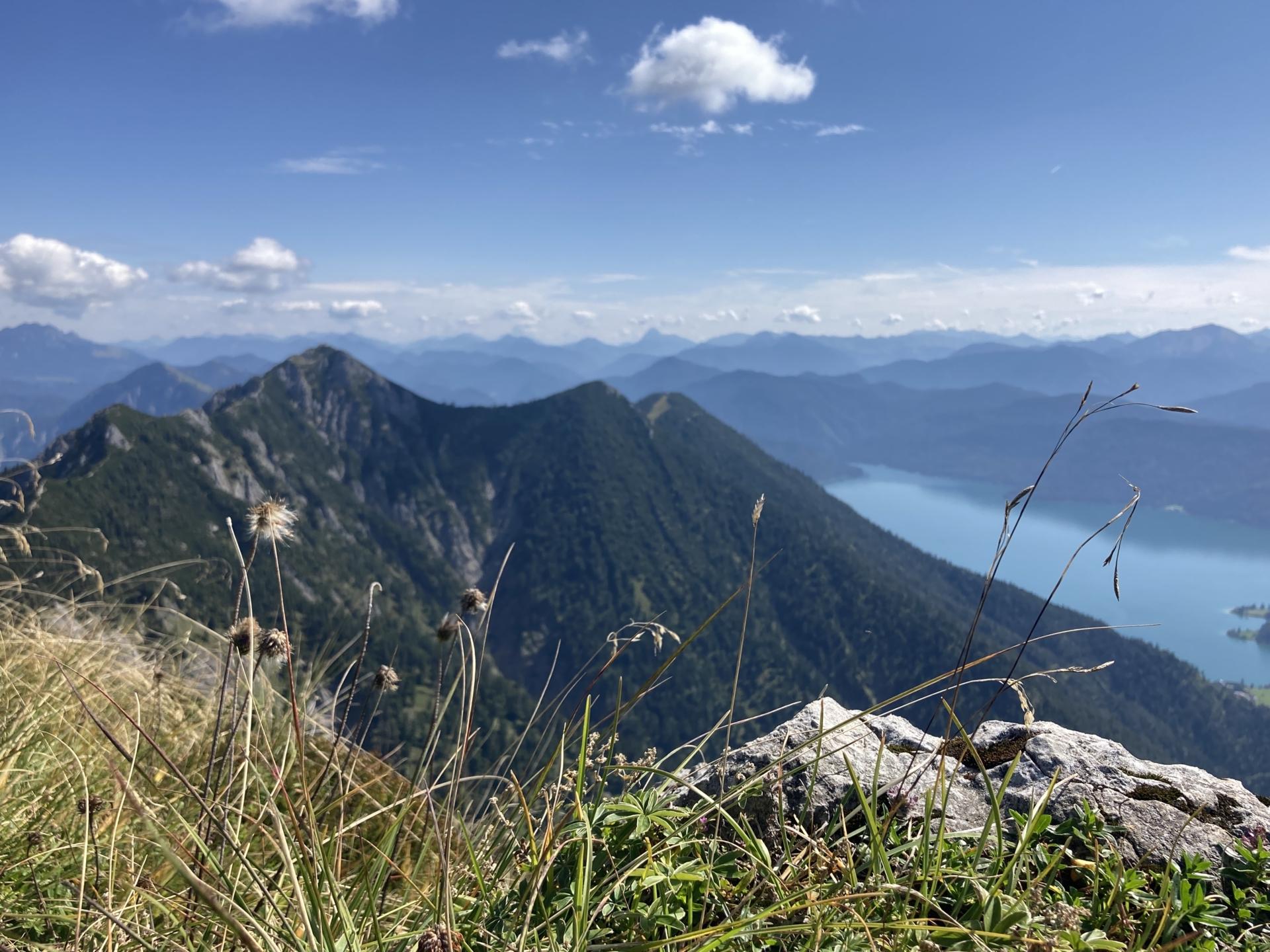
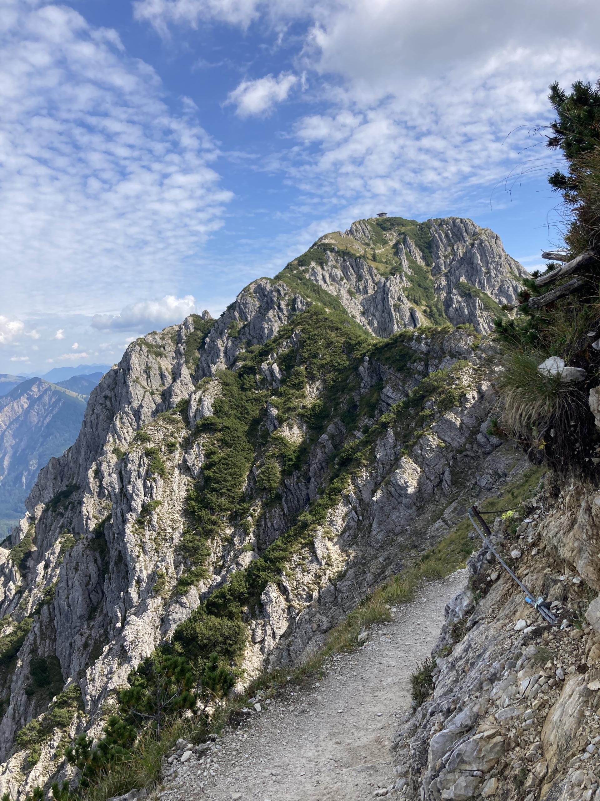
Crossing the Heimgarten and Herzogstand

Mountain tour in Walchensee (Tölzer Land)

A strenuous and demanding mountain tour with many meters of altitude to be mastered.

Tourdata

Length
10,0 km
Duration
6:00 h
Max altitude
1.785 hm
Min altitude
806 hm
Elevation gain
1.400 +hm
Elevation loss
612 -hm

To protect your privacy, we did not automatically load the map. When you load this map, personal data (like your IP-address) may be transferred to openstreetmap.de and thunderforest.com. Read more in the privacy policies


GPX download

Equipment and safety instructions

Surefootedness and a head for heights are required on the ridge