Coburger Hütte and Hinteres Tajatörl
Mountain tour in Ehrwald (Mieming)
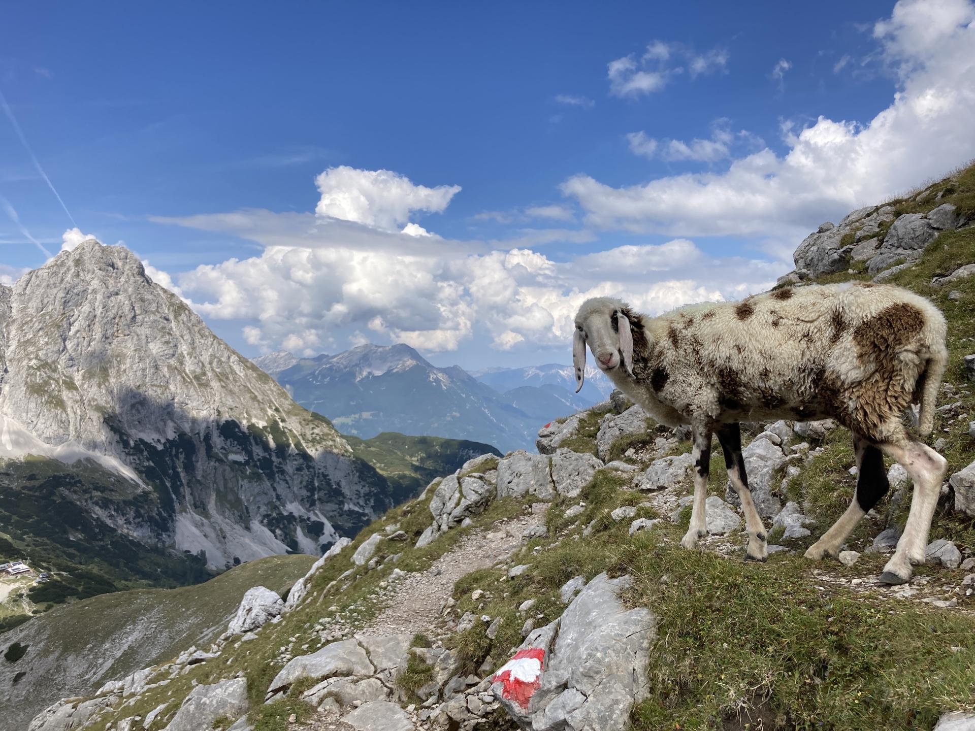
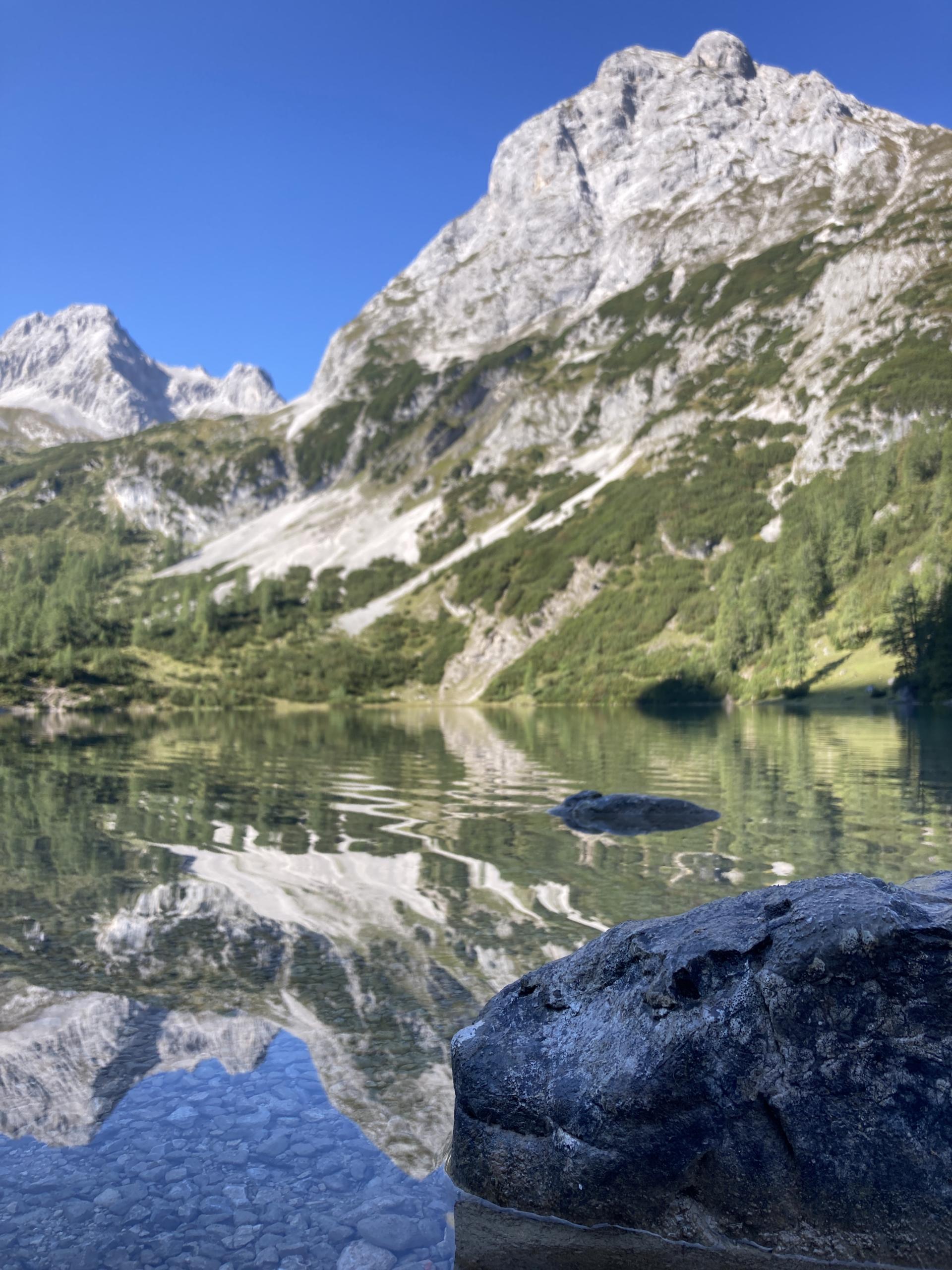
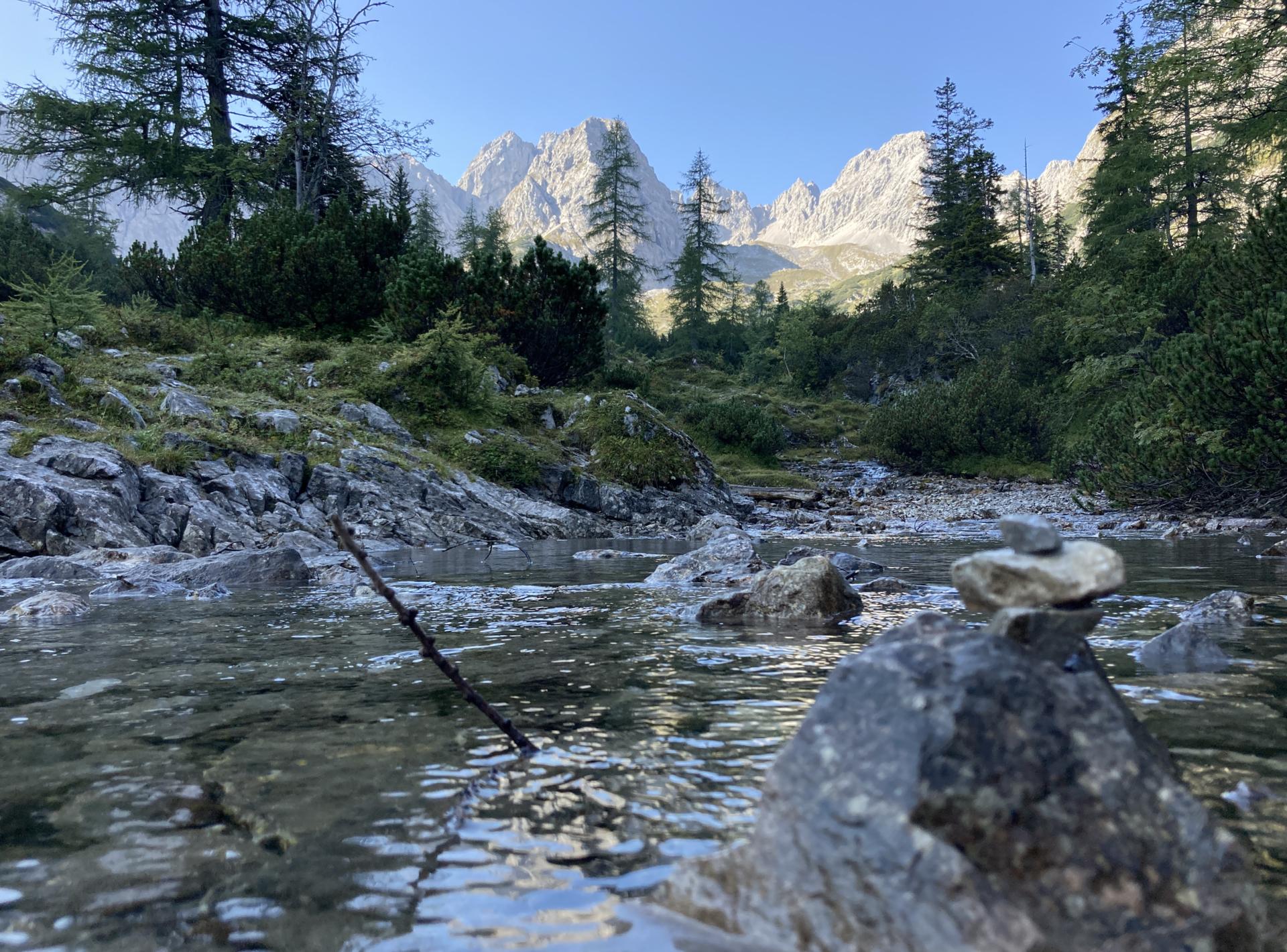
The tour begins with a very lively landscape and leads along the clear Seebensee and Drachensee. A very rough landscape awaits you in the ascent of the Tajatörl and descent through the Brendlkar.
Tourdata
Equipment and safety instructions
A scree field has to be overcome on the descent; trekking poles should definitely be taken with you